
We independently review everything we recommend. When you buy through our links, we may earn a commission. As an Amazon Associate I earn from qualifying purchases. Learn more ›

Description
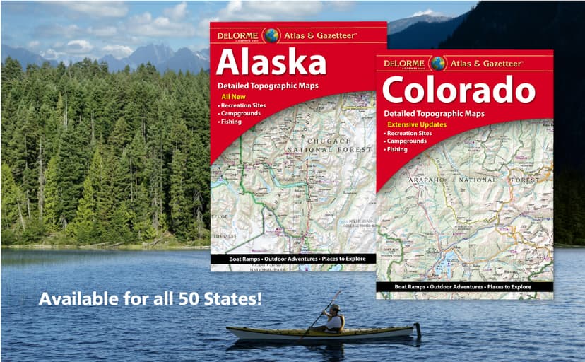
With an incredible wealth of detail, DeLorme's Atlas & Gazetteer is the perfect companion for exploring the Ohio outdoors. Extensively indexed, full-color topographic maps provide information on everything from cities and towns to historic sites, scenic drives, trailheads, boat ramps and even prime fishing spots. Conveniently bound in book form, the Atlas & Gazetteer is your most comprehensive guide to Ohio's backcountry. - Full-color topographic maps provide information on everything from cities and towns to historic sites, scenic drives, recreation areas, trailheads, boat ramps and prime fishing spots. - Extensively indexed. - Handy latitude/longitude overlay grid for each map allows you to navigate with GPS. - Inset maps provided for major cities as well as all state lands. Product Details: Dimensions: 15.5" x 11". Available for all 50 States! Read more
Photos

Product specs
| Specification | Details |
|---|---|
| Publisher | Delorme Mapping Company |
| Publication date | December 27, 2022 |
| Language | English |
| Print length | 80 pages |
| ISBN-10 | 1946494607 |
| ISBN-13 | 978-1946494603 |
| Item Weight | 1 pounds |
| Dimensions | 12 x 0.8 x 15.6 inches |
Related
© 2026 GiftsPick.com. All rights reserved. Time Zone: Pacific Time (US & Canada).